About Pelican Aerial
Serving the South West with expert drone imagery and data for construction, agriculture, and emergency services.


150+
25+
Satisfied Clients Served
Projects
Our Services
Capturing breathtaking aerial views and precise mapping for your projects.


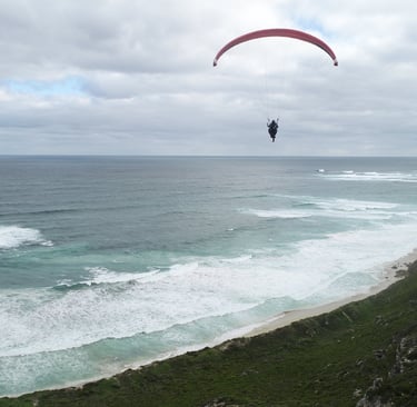
Aerial Photography
Stunning images and videos from above to highlight your property.
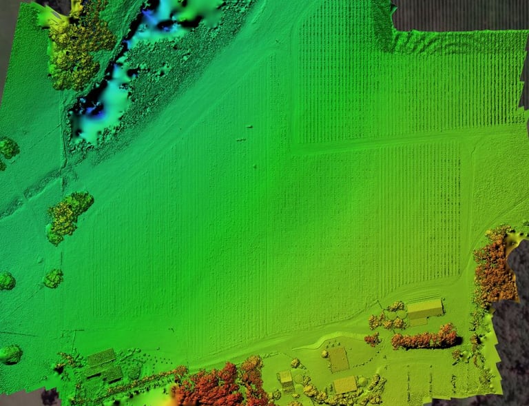
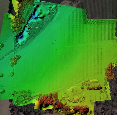
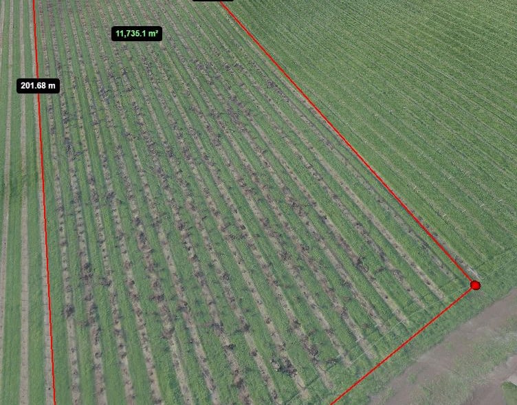
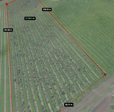
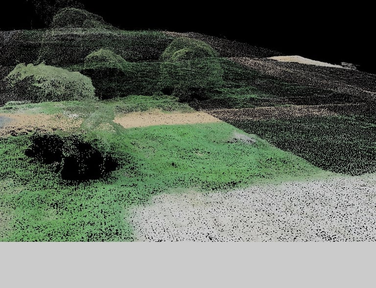
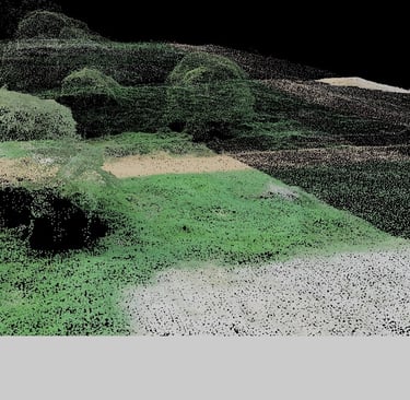
High-Res Mapping
Accurate land and environmental maps for detailed analysis.
Site Planning
Visual data that helps you plan and develop with confidence.
Project Insight
Stay on track with aerial photos, videos, and 3D maps.
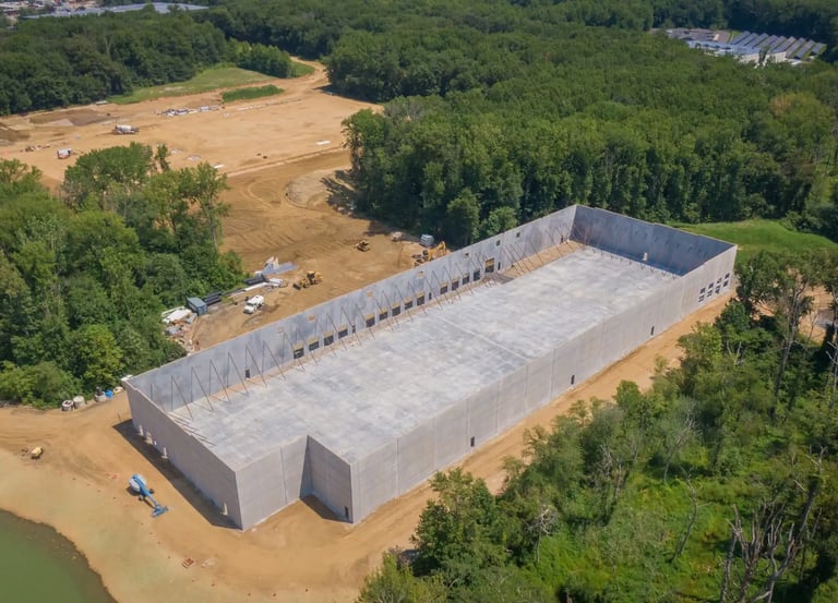
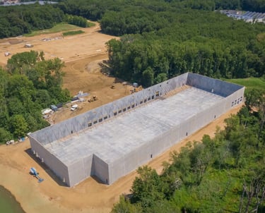
Progress Tracking
High-resolution images keep you updated daily.
Issue Detection
Spot problems early to avoid delays.
Safety Boost
Reduce risks by minimizing on-site hazards.
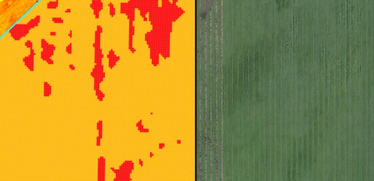
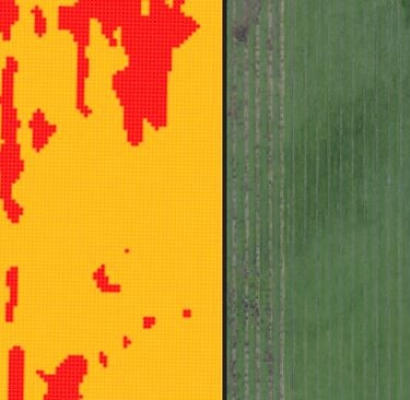
Crop Care
Smart sensors track crop health and growth in real time.

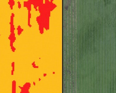
Health Monitoring
Detect crop stress early with precise sensor readings.
Irrigation Control
Optimize water use based on real-time soil moisture data.
Pest Management
Identify pest threats quickly to protect your yield.
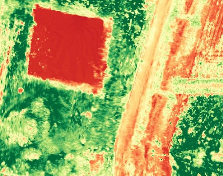
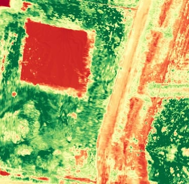
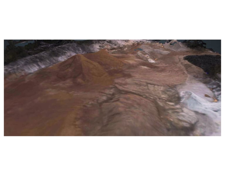
Damage Insights
Fast, precise aerial surveys with thermal and 3D imaging.


Storm Damage
Quick aerial scans to assess structural impact after storms.
Emergency Response
Rapid, safe inspections to support first responders on site.
Detailed Reports
Actionable 3D models and thermal data for engineers and insurers.
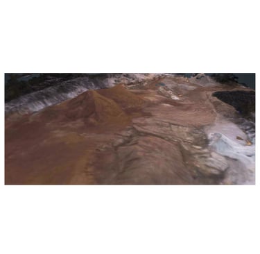
Gallery


Explore our diverse aerial services through stunning visuals.
Contact
tom@pelicanaerial.com
+61 476 110 829
© 2025. All rights reserved.


Web Design by